3.6 Roadways
3.6A Roadways Introduction and general guidance
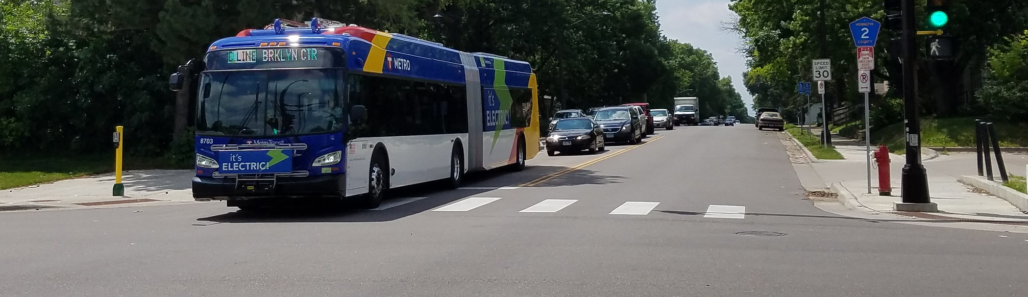
The roadway zone is typically located in the center of the right of way. This zone provides space for people driving and riding in motor vehicles, including transit. People riding bicycles and micromobility also share this space in most locations, and the bikeway zone may be in the roadway zone as well. The edges of this zone often provide space for motor vehicle parking, stopping buses, loading and unloading, or parklets and bicycle corrals. Gutters and catch basins are also included at the edge of the roadway zone; they provide critical space for conveyance of stormwater and are generally not considered functional travel space for vehicles.
The roadway may contain multiple marked or unmarked travel and parking lanes, including special use lanes like turn lanes or transit-only lanes. The roadway zone is used by all street users to cross intersecting streets and may be used exclusively by non-motorized users during events. Trails and some concepts for Urban Neighborhood streets do not include conventional roadway zones that maintain space for motor vehicles.
Prioritizing walking, biking, and transit
Roadway design should ensure a people first future. The Minneapolis Complete Streets policy and Transportation Action Plan prioritize walking, rolling, biking, and transit over driving, deliveries, and parking. Designers should plan for efficient and practical operations of people walking, biking and taking micromobility options, and transit throughout the street design process.
Minneapolis has a 2030 mode shift goal of getting to 35% of all trips walking, biking or micromobility, 25% transit (including school bus), and 20% each of multi-occupancy vehicle and driving alone. To get there we need to plan, design, and construct streets that provide more options for people to travel more efficiently and make it more convenient for people to make those choices.
The Transportation Action Plan includes the following actions that provide guidance for roadway design that support the mode share goal established in the plan:
Street Operations Action 3.1: Plan and design for zero or decreasing motor vehicle trip growth and positive growth in other modes for trip forecasting for street projects where the City is the primary implementer. Work with project partners to encourage this approach in project planning when the City is a partner versus a lead.
Street Operations Action 3.2: Discontinue the use of vehicular level of service except where necessary to meet funding, legislative or other jurisdictional requirements.
Street Operations Action 6.1: Allocate street space to support planned travel patterns and desired mode shares.